

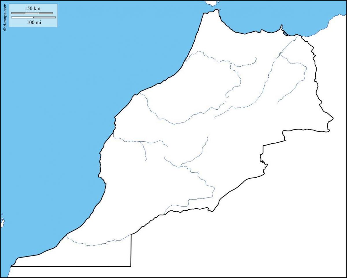
You can find on this page the blank map of Morocco to print and to download in PDF. The contours map of Morocco presents the international boundary of Morocco in Africa. You can use the vector map of Morocco for personal or educational use.

The blank map of Morocco shows the country Morocco empty. This blank map of Morocco will allow you to use the map for personal activities or educational with children for example (drawing). The empty map of Morocco is downloadable in PDF, printable and free.
Morocco regions as its mentioned in the blank map of Morocco are: Béni Mellal - Khénifra, Casablanca - Settat, Drâa - Tafilalet, Ed Dakhla - Oued ed Dahab, Fès - Meknès, Guelmim - Oued Noun, Laâyoune - Saguia al Hamra, Marrakeh - Safi, Oriental, Rabat - Salé - Kénitra, Souss - Massa, Tanger - Tétouan -Al Houceima.
Morocco blank map is for the sovereign country located in the Maghreb region of North Africa. It is well known that Morocco is characterized by a rugged mountainous interior, large tracts of desert and a lengthy coastline along the Atlantic Ocean and Mediterranean Sea. Her neighboring countries are Spain from the north, Algeria from the east, and Mauritania from the south. Notably, Rabat and Casablanca is the capital and largest city of Morocco respectively, furthermore, other major cities including Marrakech, Tanger, and Agadir.
446,550 km² of the area of Morocco is spread inside the outline of the country and is represented in these blank maps with accurate scaling. These maps include the splitting of the country in further states and cities. All this is accurately plotted on these maps. The scaling is issued and verified by the government of Morocco.

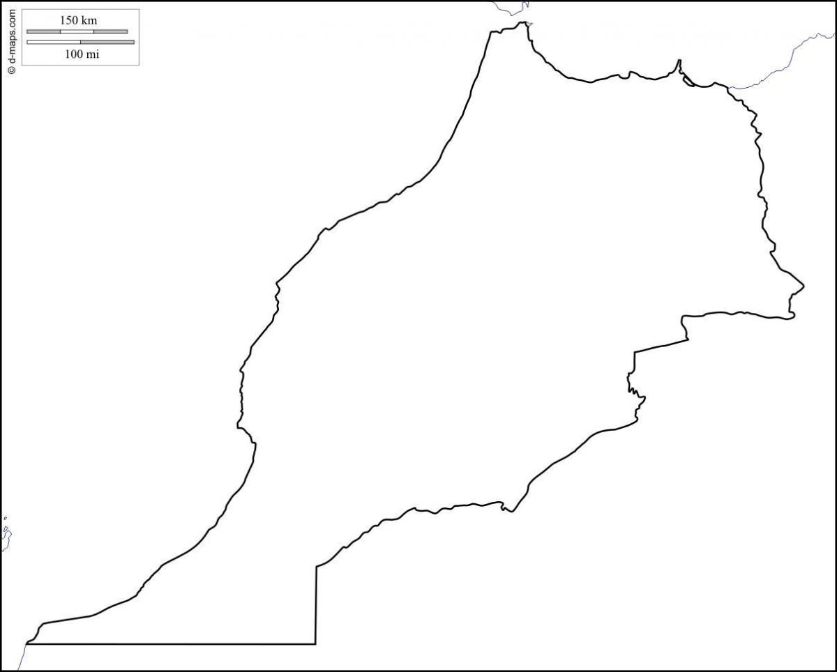
The Morocco map outline shows all the contours and international boundary of Morocco. This outline map of Morocco will allow you to easily learn about neighboring countries of Morocco in Africa. The Morocco contours map is downloadable in PDF, printable and free.
The internationally recognized borders of the country lie between latitudes 27° and 36°N, and longitudes 1° and 14°W as its mentioned in Morocco map outlines. Adding Western Sahara, Morocco lies mostly between 21° and 36°N, and 1° and 17°W (the Ras Nouadhibou peninsula is slightly south of 21° and west of 17°).
The outline map represents the North African country of Morocco. It is a famous travel destination with a lost of historical and natural attractions. The map can be dowloaded, printed, and used for coloring or educational purposes. Physical map of Morocco showing major cities, terrain, national parks, rivers, and surrounding countries with international borders and outline maps. Key facts about Morocco.
These Morocco outlines maps represent the basic information about a country and some minute details about the states, cities, river routes, depending upon the outline map you choose. Maps are of great importance, even these days rather than the fact that digital maps have become the contemporary choice.
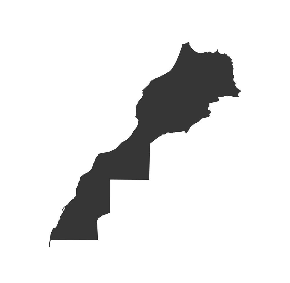
The vector map of Morocco shows entire surface of Morocco empty. This vector map of Morocco will allow you to make changes or add details to the map of Morocco in Africa, for personal or educational purposes. The vectorial map of Morocco is downloadable in PDF, printable and free.
This is the most basic vector map of Morocco, which contains only the outline of the country. This map is of little help, considering the dearth of information represented by it. This is a political map with accurate scaling and no labeling, no states, and cities’ marking. These maps are empty, solely to be filled by you. So, you can print them and use them for your purpose.
Morocco borders Algeria to the east and southeast, Western Sahara to the south, the Atlantic Ocean to the west, and the Mediterranean Sea to the north as its mentioned in Morocco map vector. It is the only African country with coastal exposure to both the Atlantic Ocean and the Mediterranean Sea. Its area—excluding the territory of Western Sahara, which Morocco controls—is slightly larger than the U.S. state of California. Two small Spanish enclaves, Ceuta and Melilla, are situated on the country northern coast.
The Morocco–Spain border consists of three non-contiguous lines totalling 18.5 km (11.5 m) around the Spanish territories of Ceuta (8 km), Peñón de Vélez de la Gomera (75 metres) and Melilla (10.5 km) as you can see in Morocco map vector. A treaty outlining Ceuta boundary with Morocco was signed 7 October 1844 and confirmed by another on 6 May 1845. Miles ridden: 53,835 (86,639km) Recently, the new Interior minister of Spain has recognized the anti-immigration ideals that the fence stems from and has vowed to replace the razor wire that runs along its top with more humane deterrents.